
Sách Mapping the Great Game Explorers, Spies and Maps in 19th-century Asia (Sách keo gáy, bìa mềm)
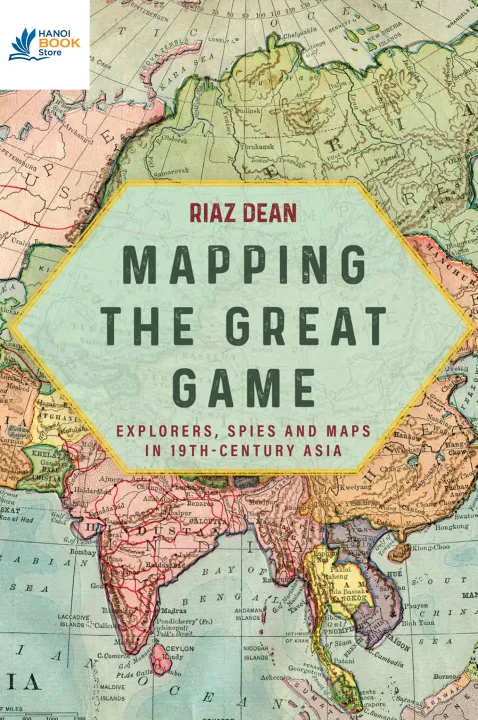
The work of explorers, surveyors and spies in the
race to conquer Southern Asia is vividly recounted in this history of
British imperial cartography. In the 19th century, the British and
Russian empires were engaged in bitter rivalry for the acquisition of
Southern Asian. Although India was the ultimate prize, most of the
intrigue and action took place along its northern frontier in
Afghanistan, Turkestan and Tibet. Mapping the region and gaining
knowledge of the enemy were crucial to the interests of both sides. The
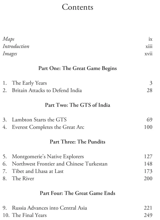
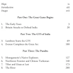
Great Trigonometrical Survey of India began in the 18th century with the
aim of creating a detailed map of the subcontinent. Under the
leadership of George Everest—whose name was later bestowed to the
world’s tallest mountain—the it mapped the Great Arc running from the
country’s southern tip to the Himalayas. Much of the work was done by
Indian explorers known as Pundits. They were the first to reveal the
mysteries of the forbidden city of Lhasa, and discover the true course
of Tibet’s mighty Tsangpo River. These explorers performed essential
information gathering for the British Empire and filled in large
portions of the map of Asia. Their adventurous exploits are vividly
recounted in Mapping the Great Game.
Categories:History - Asian History
Year:2024
Edition:5
Language:english
Pages:256















Thêm đánh giá